


The project is carried out with Aram Heritage Consulting Office.
The project consists of two main business axes.
the first axis concerns GIS and includes the design of forms to register all archaeological sites of
different types and the design of Geo-databases, the second axis includes the design of database models to
follow up and inspect all archaeological sites in the region.
The project includes the following characteristics:
• Design and develop Geo-database.
• Provide PinHub product.
• Designing data form for: archaeological sites, historical sites, folklore, urban heritage, and submerged
heritage.
• Designing a model for identifying the needs of a cultural heritage site.
• Designing a model for documenting infringements on a cultural heritage site.
• Designing a follow-up form for archaeological sites.
• Designing an inspection form for archaeological sites.
The project completely depends on GIS open source and on Penta-b PinHub products.
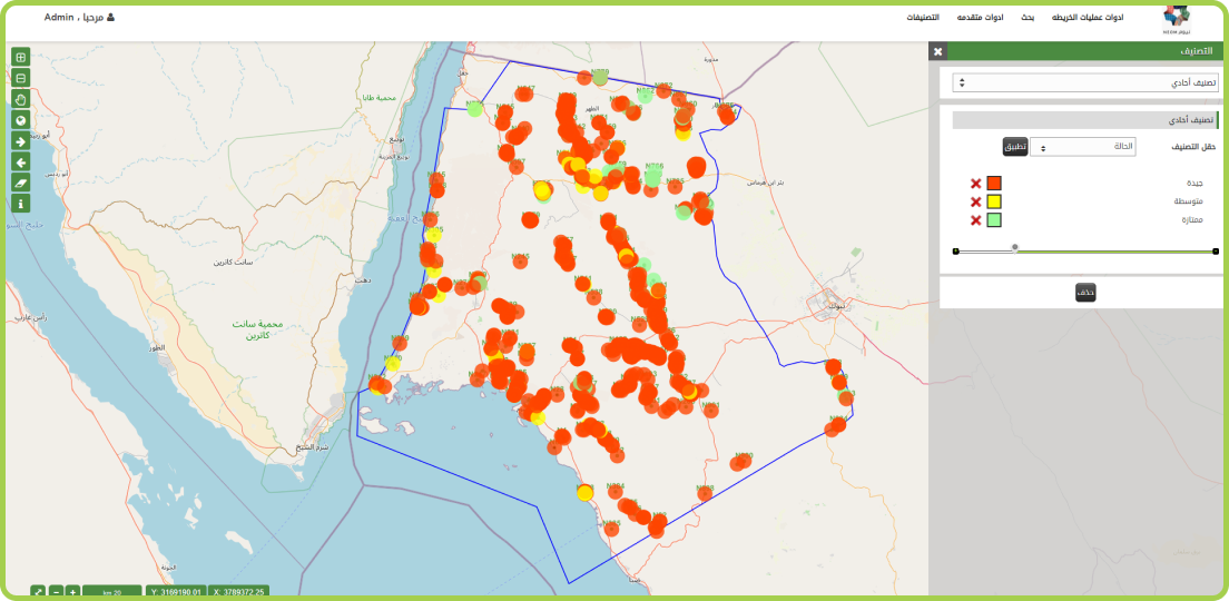
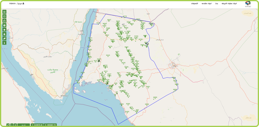
Register all archaeological sites of different types and link them to the Geo-database creating a whole complete system for registering and following up on all archaeological sites with detailed data.Register all archaeological sites of different types and link them to the Geo-database creating a whole complete system for registering and following up on all archaeological sites with detailed data.


